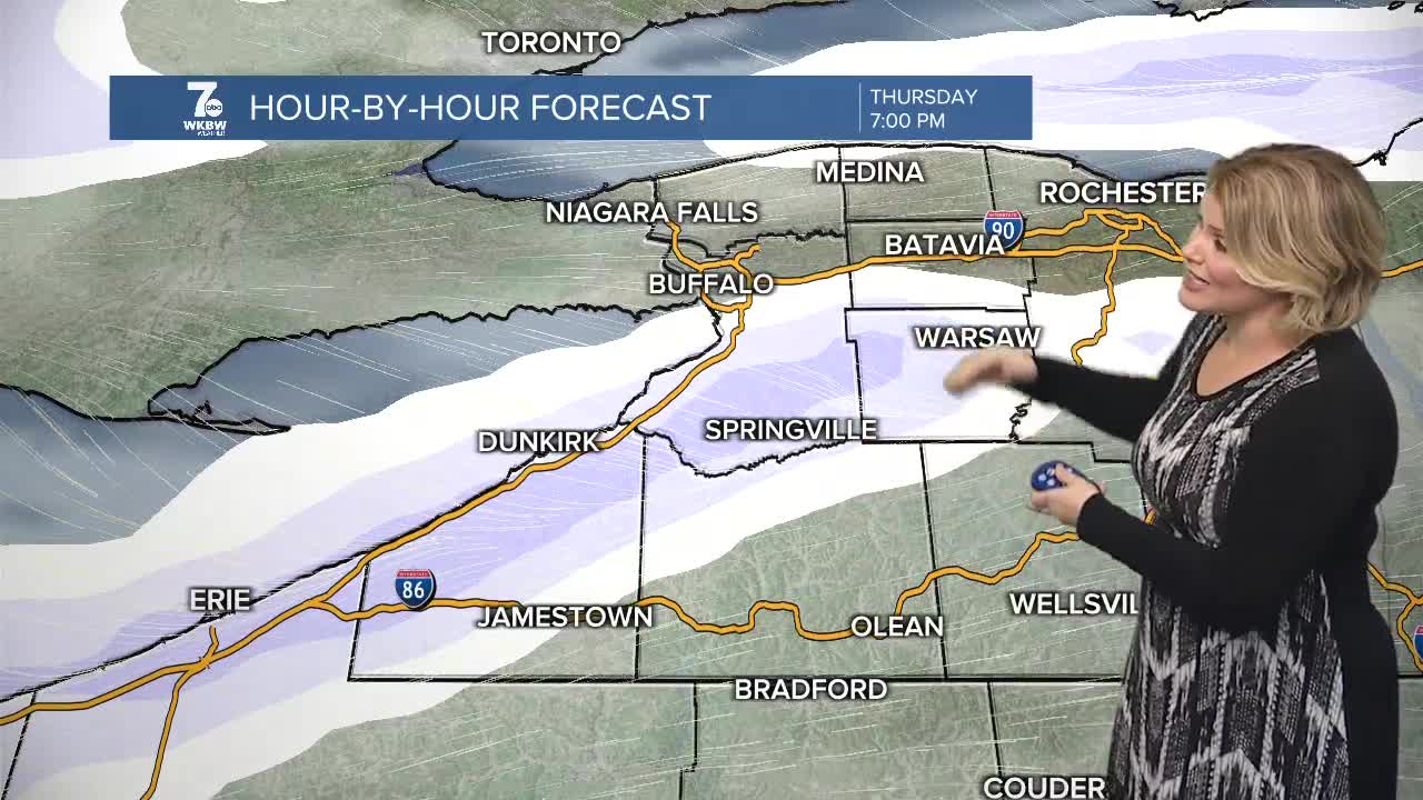


Winter Storm Watch for Erie, Genesee, and Wyoming Counties from Wednesday evening through Thursday evening. Travel will be difficult within lake snow as winds gust between 35-45mph Wednesday evening and near 30mph Thursday morning.
Increasing clouds overnight as temperatures remain in the lower 30s, rising into the mid-30s by morning. High's rise to near 40 Wednesday before highs come crashing back into the 20s to end the week with the lake snow machine firing up!
As winds align from the southwest and temperatures dive into the 20s, lake effect snow is set to impact the city of Buffalo for a time Wednesday evening through early Thursday. Expect travel to be extremely difficult through the lake band as winds gust to near 40mph through the overnight and while the winds diminish some into Thursday will still impact the morning commute on Thursday near the city of Buffalo, or just to the south.
WEDNESDAY
MORNING: Mostly cloudy, upper 20s.
AFTERNOON: Rain to snow, near 40.
THURSDAY
MORNING: Lake effect snow, near 20.
AFTERNOON: Lake effect snow, upper 20s,
FRIDAY
MORNING: Snow showers, upper teens.
AFTERNOON: Mostly cloudy, mid 20s.
