


BUFFALO, N.Y. (WKBW) — Get ready to ride a weather roller coaster as Western New York heads toward the Christmas holiday!
Christmas Eve will be a warm one as daytime highs top out as far as the 50s this afternoon!
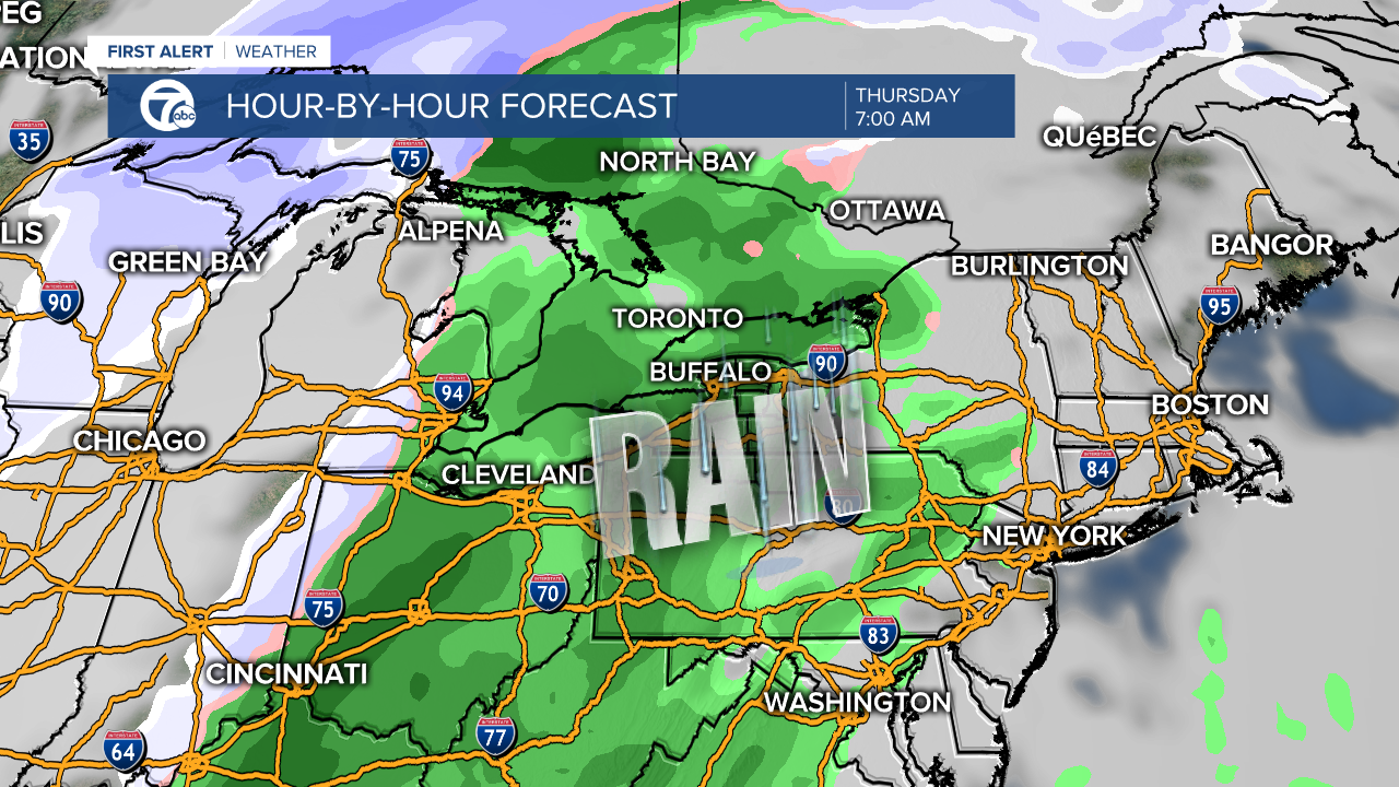
In addition to the warm-up, WNY will see a soaking rain through the day on Thursday making Christmas Eve more wet than white. Even the deeper snow pack over the Southern Tier could disappear by this evening creating soggy lawns and plenty of puddles. Poor drainage areas should take note as more than .5" of rain could fall across saturated basins.
The warm-up won't last long though, as winter winds will send temperatures tumbling into the 20s tonight. Expect the rain to change to snow between 6pm and midnight setting off a flash freeze and leaving a blanket of white across ALL of WNY by Christmas morning.
As Christmas Day arrives the snow story is just beginning as gusty southwest winds will align along the length of Lake Erie building an intense band of lake snow during Christmas Day. The plume of wind whipped whiteouts will develop down by Dunkirk and extend all the way inland to Batavia.
The duration and intensity of the of snow band will send flakes flying at 2-3" per hour, setting the stage for locations inland from the lake to see snow piles pass a foot deep by Saturday morning. The wind direction will determine which towns have to dig out, and right now at this early vantage point it appears anyone from Buffalo to Batavia then down into the immediate Southtowns are the target for treacherous travel.
The 7 First Alert Weather Team will keep you updated on this developing storm system throughout the week and encourage you to grab our app and put the power of 7 Super Doppler in the palm of your hand anytime online here.
