

Heat Advisory for All of WNY until 8pm today. Heat index values will be close to 100 degrees this afternoon. Stay cool, hydrated, and safe, and be sure to keep children, elderly, and pets out of unattended vehicles.
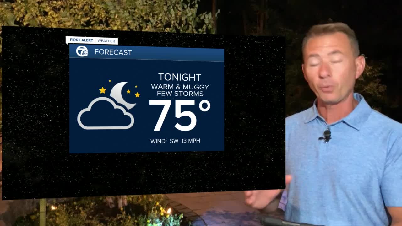
A few early scattered showers/t-storms Thursday morning as the heat and humidity ramps up again with scattered afternoon storms and breezy southwest winds. One last hot and humid day Friday to end the week before temperatures drop off a few degrees with a cold front arriving Friday sweeping out the heat and returning the 70s to start the weekend.
THURSDAY
MORNING: 72
AFTERNOON: 85
Scattered showers and t-storms
FRIDAY
MORNING: 71
AFTERNOON: 85
Scattered shower and t-storms
SATURDAY
MORNING: 62
AFTERNOON 75
Cooler with sun & clouds
SUNDAY
MORNING: 60
AFTERNOON: 80
Mostly sunny & seasonable
