


The first hurricane of the Atlantic hurricane season is expected to form this week in the middle of the ocean and is not expected to pose an immediate threat to land.
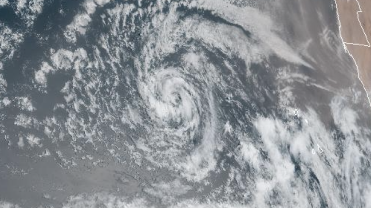
Tropical Storm Erin, the fifth named storm of the 2025 season, began churning off the coast of Africa earlier this week. It is moving west over the open Atlantic Ocean, with top sustained winds of 45 mph as of Tuesday morning.
As it gathers strength, it is not forecast to threaten any landmasses over the next three days.
By the weekend, however, it could become a major hurricane as it approaches the northeast Caribbean Sea. Some of the northernmost U.S. Virgin Islands could be near the path of Hurricane Erin.
It is unclear where Erin will go after that and whether it could threaten the U.S. next week or head away from the coast. Although hurricane season begins in June and goes through November, the period from mid-August until early October tends to be when activity in the Atlantic Ocean ramps up.
"It is still too early to determine what impacts, if any, Erin may bring to the northern Leeward Islands, Bermuda, or the east coast of the United States. As we approach the climatological peak of the hurricane season, this is an opportune time to ensure your preparedness plans are in place," the National Hurricane Center said.
Besides Erin, there is one other system off the coast of New England that has a small chance of developing into a tropical depression or tropical storm this week. If it does develop, however, it is expected to be short-lived as it moves north into much cooler waters.
