

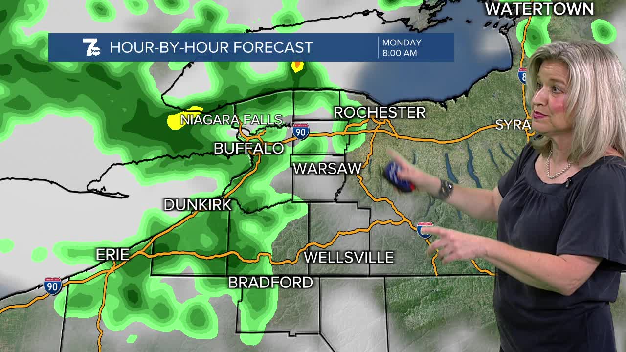

BUFFALO, N.Y. (WKBW) — Heavy rain across the southern tier Sunday night will taper to isolated t-storms overnight. More lake effect rain will develop across the metro area and the north towns for the Monday morning commute. A deep upper level low behind a departing cold front will usher in unseasonably cool air with showers and t-storms possible through Tuesday. The increased instability will also raise the threat of waterspouts on Lakes Erie and Ontario through Tuesday. Strong rip currents and dangerous swimming conditions are expected along the beaches of Erie and Chautauqua counties. Unseasonably cool and brisk tonight into Monday with lake effect scattered rain showers and highs in the mid 60s with west winds from 15-25mph. Shower chances will taper early Tuesday with highs back into the mid 70s.
SUNDAY
Overnight: Scattered t-showers, upper 50s.
MONDAY
MORNING: Showers, mid 50s.
AFTERNOON: Showers, mid 60s
TUESDAY
MORNING: lingering showers, near 60.
AFTERNOON: Sun and clouds, low 70s.
WEDNESDAY
MORNING: Partly sunny, near 60.
AFTERNOON: Partly sunny, near 80
