

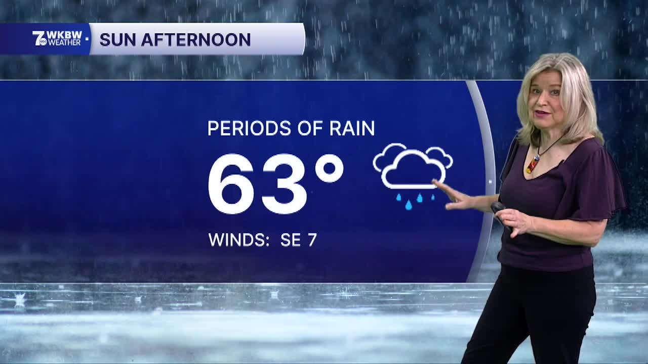

BUFFALO, N.Y. (WKBW) — The remnants of Hurricane Isaias will arrive in WNY. The chance of rain picks up on Sunday from south to north starting in the morning with widespread rain expected for the afternoon. Look for highs in the low to mid 60s. There's still uncertainty about rainfall amounts, but it appears the southern tier will receive higher totals. Rain will begin to taper from west to east later Sunday night into early Monday. Drier weather is expected on Monday with highs in the mid 60s. Another disturbance will bring warmer weather to WNY on Tuesday with a few passing showers and t-storms. Look for highs in the mid 70s. Cooler weather arrives Wednesday and Thursday with highs near 60F.
SUNDAY
MORNING: Rain arrives, mid 50s.
AFTERNOON: Periods of rain, low 60s.
MONDAY
MORNING: Mostly cloudy, mid 50s.
AFTERNOON: Mostly cloudy, mid 60s.
TUESDAY
MORNING: Spot showers mid 50s.
AFTERNOON: t-showers mid 70s.
WEDNESDAY
MORNING: Mostly cloudy near 60
AFTERNOON: Partly sunny, low 60s.
