

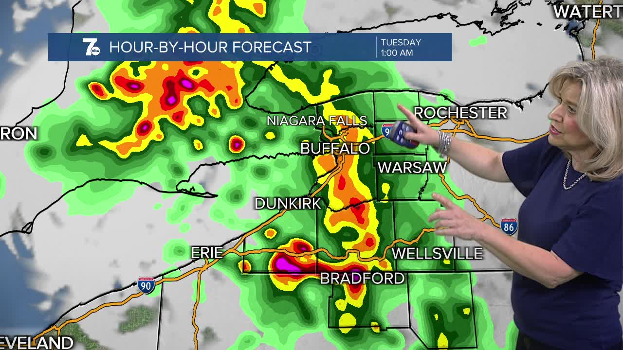

BUFFALO, N.Y. (WKBW) — Partly cloudy tonight with patchy fog developing. Overnight lows will be in the mid 60s. More active weather heading our way early this week. Monday will start out partly sunny. It'll be warm and humid with highs in the mid 80s. A few pop up showers and t-storms are possible in the afternoon, but more widespread coverage of storms is expected late Monday night into early Tuesday morning. The Storm Prediction Center has WNY in a marginal risk of damaging wind gusts and torrential downpours that may lead to flash flooding during this time. The chance of showers and t-storms will continue into Tuesday and Wednesday before we start to dry out for the end of the week.
SUNDAY
EVENING: Partly cloudy, humid, areas of fog, mid 60s.
MONDAY
MORNING: Partly sunny, mid 60s.
AFTERNOON: Storms Approach, mid 80s.
TUESDAY
MORNING: Sctd. T-Storms, mid 60s.
AFTERNOON: Sctd. storms, upper 70s.
WEDNESDAY
MORNING: Sctd. T-Storms, mid 60s.
AFTERNOON: Sctd. storms, upper 70s.
