


BUFFALO, N.Y. (WKBW) — Air Quality ALERT extended for all for WNY through late Sunday night as wildfire smoke continues with an expected AQI of 125 or greater, making it unhealthy for sensitive groups, especially those with respiratory concerns, lung and heart disease.
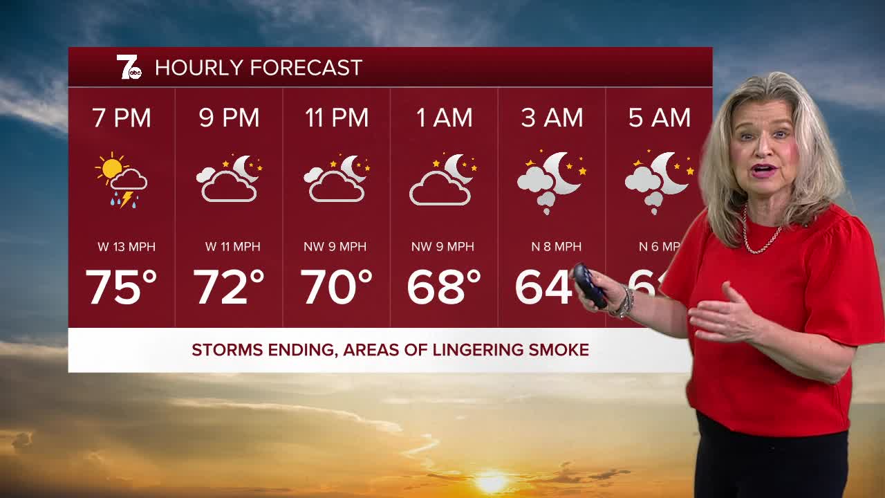
Storms are ending from north to south tonight with humidity dropping overnight into Sunday. Sunshine returns Sunday with cooler highs in the 70s along with lingering fire smoke.
SATURDAY
EVENING: Storms ending, lingering smoke low 60s.
SUNDAY
MORNING: Lingering smoke, lower 60s.
AFTERNOON: Hazy sun. Near 80
MONDAY
MORNING: Sun & Clouds, lower 60s.
AFTERNOON: Partly sunny. Near 80
TUESDAY
MORNING: Sun & Clouds, upper 60s.
AFTERNOON: Scattered showers and t-storms. Upper 70s.
