

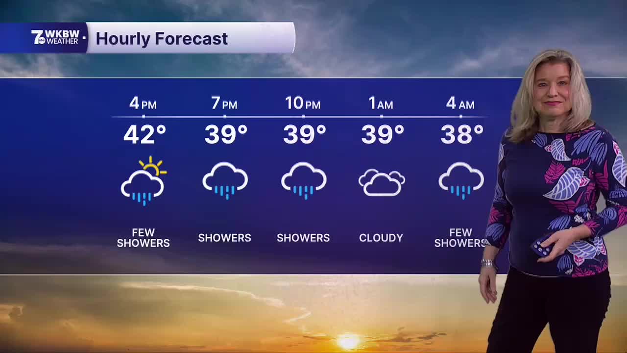

BUFFALO, N.Y. (WKBW) — A disturbance pushing through WNY will keep the chance of passing rain and wet snow showers in the forecast tonight and early tomorrow with only minor accumulations possible in higher elevations and on grassy surfaces. Temperatures tonight will drop into the mid 30s with lows 30s across the southern tier. Sunday will feature more clouds with areas of rain and snow diminishing in the afternoon and more dry time later in the day. Look for chilly highs again in the low 40s. Skies becoming partly cloudy on Monday with milder highs in the upper 40s. It turns milder through the week with highs in the 50s and low 60s along with a drier weather pattern setting up.
SATURDAY
EVENING: Rain and snow, mid 30s.
SUNDAY
MORNING: Rain and snow, mid 30s.
AFTERNOON: Mostly cloudy, low 40s.
MONDAY
MORNING: Mostly cloudy, mid 30s.
AFTERNOON: Partly sunny, upper 40s.
TUESDAY
MORNING: Mostly cloudy, mid 30s.
AFTERNOON: Partly sunny, low 50s.
