
BUFFALO, N.Y. (WKBW) — The week-long lake effect event has wound down, but not before it deposited more than 2 FEET of snow in the infamous snow belts of Ski Country.
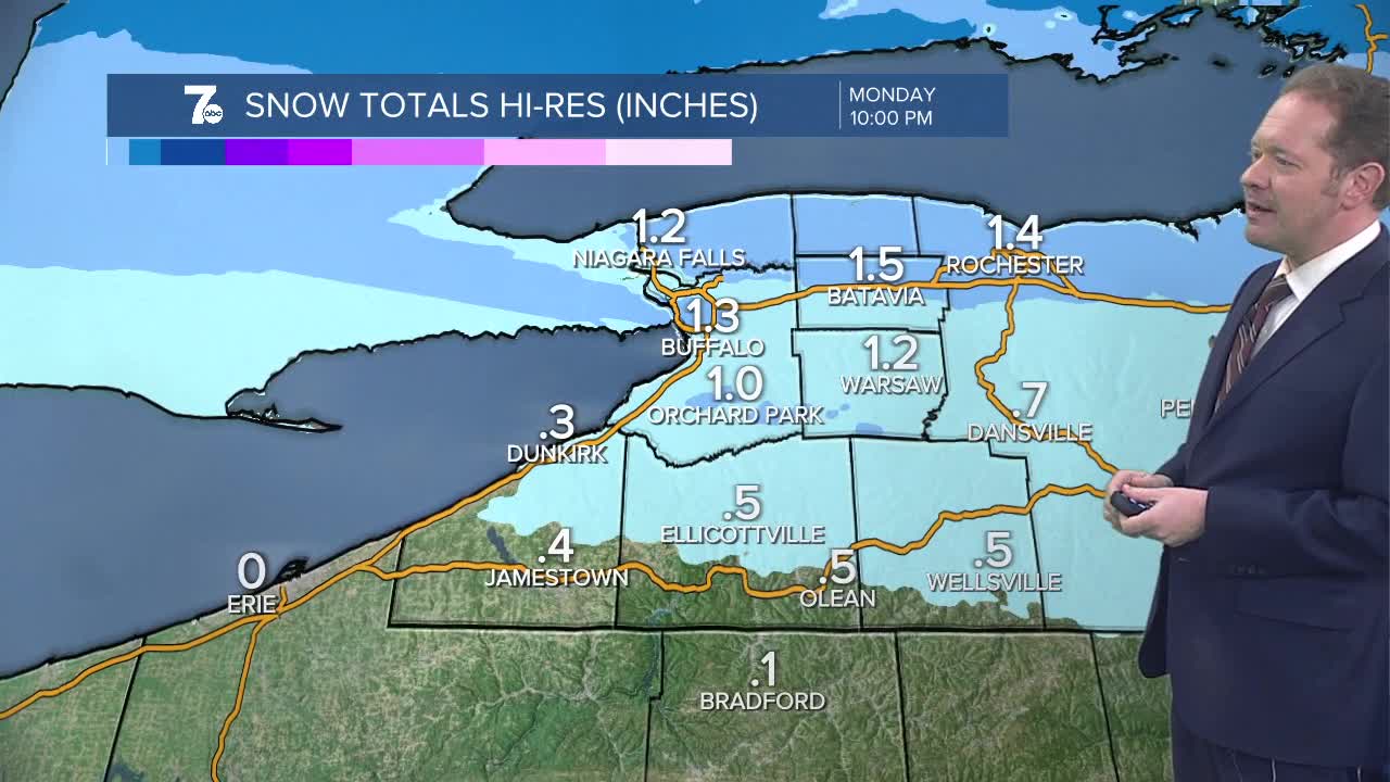
Another weak system arrives Monday with some light snow. Accumulations of 1 to 3 inches are possible. Allow extra time for that morning drive, as it could be a bit messy. That's followed by some limited lake snow on Tuesday. Then, the next system comes in mid-week, with warmer air, which means it will be more wet than wintry! A January thaw is on its way!
SUNDAY
EVENING/OVERNIGHT: Cloudy, a flurry, low 20s
MONDAY
MORNING: Mostly cloudy, 20s
AFTERNOON: Snow showers, near 30.
TUESDAY
MORNING: Cloudy, 30
AFTERNOON: Rain/snow showers, 40
