
BUFFALO, N.Y. (WKBW) — Wednesday, August 27 marks the day the National Weather Service recorded the highest temperature for Buffalo at 99 degrees, 77 years ago in 1948.
Much cooler air is in place this year with temperatures about 10 degrees below average. Lows dropping close to record levels in the 40s.
It will be a cool night tonight with temperatures into the mid 50s in Buffalo. Lows in the Southern Tier will be in the 40s.
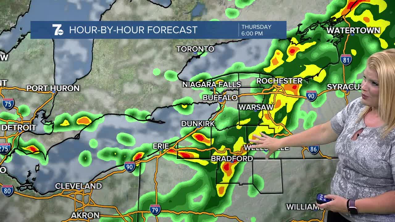
Showers likely Thursday afternoon as the next front moves through the region. Expect winds to be gusty as well and temperatures to fall further for Friday with highs in the lower 60s, about 15 degrees below normal!
After Labor Day Weekend starts on the chilly side with a few showers Friday, it'll dry out and temperatures will improve through Monday with highs in the upper 70s.
EVENING: Partly cloudy, 60s
OVERNIGHT: Partly cloudy, cool. 50s.
THURSDAY
MORNING: Mostly cloudy, low 50s.
AFTERNOON: Rain likely, near 70.
FRIDAY
MORNING: Mostly cloudy, upper 40s.
AFTERNOON: Partly sunny, low 60s.
Today's Forecast is...
DAY
MORNING:
AFTERNOON:
DAY
MORNING:
AFTERNOON:
DAY
MORNING:
AFTERNOON:
DAY
MORNING:
AFTERNOON:
DAY
MORNING:
AFTERNOON:
