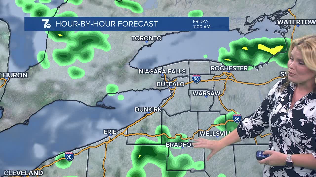

BUFFALO, N.Y. (WKBW) — Another damp and cool night across WNY with the steadier lake showers across the Southern Tier. A drier beginning to Friday but lake rain will still be a factor through the day. More numerous showers will be possible for Friday afternoon.
Much of Saturday is rain-free and cool but the chance for linger lake showers remains into the early afternoon, north and south of Buffalo.
Drier air arrives Saturday afternoon and it looks mostly dry through Wednesday.
THURSDAY
MORNING: Sctd. showers, low 40s.
AFTERNOON: Sctd. showers, low 50s.
FRIDAY
MORNING: Sctd. showers, low 40s.
AFTERNOON: Sctd. showers, low 50s.
SATURDAY
MORNING: Mostly cloudy, upper 30s.
AFTERNOON: Partly sunny, low 50s.
SUNDAY
MORNING: Partly cloudy, upper 30s.
AFTERNOON: Partly sunny, low 50s.
MONDAY
MORNING: Partly cloudy, upper 30s.
AFTERNOON: Sun and clouds, low 50s.
