
LAKE EFFECT SNOW WARNING from 7a.m. Saturday through 7a.m. Monday for Chautauqua, Cattaraugus, and southern Erie counties for lake effect snow. Most persistent bands may produce 8-12" of snow. Mckean county in PA may recieved between 4-8" of snow.
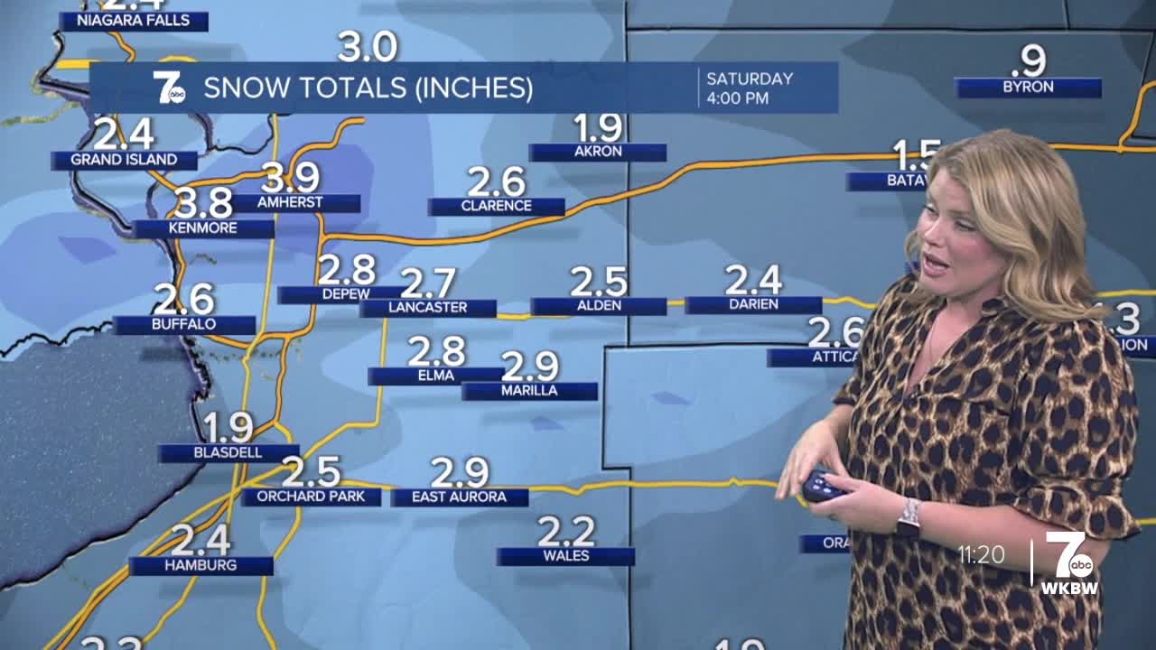
Flurries fly tonight, with an area wide light snow developing by sunrise Saturday. Accumulations will be light, near 1-2" north of Buffalo. The combination of snow and a busy southwest breeze will make for some tricky morning travel. Accumulations before the band heads south is between 2-4".
Temperatures tumble later Saturday into Sunday with areas of heavy lake effect snow developing once again, especially into Ski Country, which is why there are Lake Effect Snow Warnings in place there. Amounts will vary with the most persistent snow accumulating 8-12" into early Monday morning.
Another system could deliver an area-wide light snow late Monday into Tuesday, with a shovelable snowfall possible even in metro Buffalo. Stay tuned for details!
SATURDAY
MORNING: Snow showers, low 20s.
AFTERNOON: Snow showers, upper 20s.
SUNDAY
MORNING: Snow, near 10.
AFTERNOON: Mostly cloudy, near 20.
