
WIND ADVISORY through 1 p.m. Sunday for Niagara, Orleans, Erie, Genesee, Wyoming, Chautauqua counties. Wind gusts of 40 to 50 mph are possible. (Not as strong as the recent wind event)
WINTER WEATHER ADVISORY from 7 a.m. Sunday to 1 a.m. Monday for Wyoming, Chautauqua, Cattaraugus, Southern Erie counties for lake effect snow. 3 to 6 inches is possible in the most persistent lake snow bands
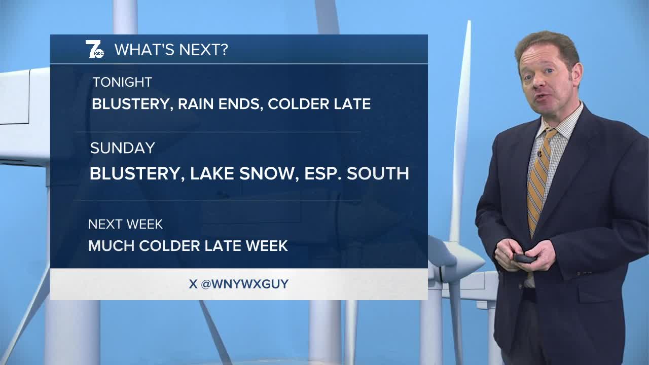
Most of Saturday was nothing short of miserable with temperatures near 40 and periods of rain along with an easterly breeze.
We'll head into Sunday with winds on the blustery side, along with temperatures near freezing. Lake flakes will fly especially south of Buffalo. 3 to 6 inches of snow are possible in the most persistent snow bands near Ski Country. The rest of us will see a coating to an inch or two by evening.
Monday is still blustery but largely dry.
We'll turn a touch milder Tuesday and Wednesday, before the next "chunk of chill" arrives. This time, the air will be of arctic nature, which means additional lake snow, and highs not out of the 20s Thursday and Friday.
SUNDAY
MORNING: Snow showers, low 20s.
AFTERNOON: Windy with snow, low 30s.
MONDAY
MORNING: Mostly cloudy, low 20s.
AFTERNOON: Breezy, mid 30s.
TUESDAY
MORNING: Mostly cloudy, near 30.
AFTERNOON: Mostly cloudy, near 40.
