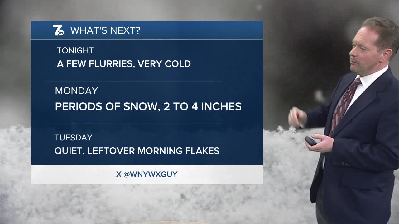

WINTER WEATHER ADVISORY from 10 a.m. Monday to 7 a.m. Tuesday for the northern Niagara Frontier. Plan on slippery road conditions. The hazardous conditions will impact the Monday evening and Tuesday morning commutes with snow covered roads. 2 to 4 inches of new snowfall can be expected.
Our future is a frozen and flaky one in the short-term. Light to moderate snow will concentrate its efforts on the western Southern Tier and Boston Hills into tonight.
Lake effect snow will redevelop early tomorrow morning, gradually lifting northward across the Buffalo metro Monday afternoon. That lake snow should start to slide south by evening.
We will escape the deep freeze briefly mid-week, with rain showers arriving by Thursday and highs near 50!
SUNDAY
EVENING: Mostly cloudy, flurries, cold, 10
MONDAY:
MORNING: Cloudy, upper teens
AFTERNOON: Periods of snow, mid 20s
TUESDAY:
MORNING: Flurries, mid teens
AFTERNOON: Mostly cloudy, 30
WEDNESDAY:
MORNING: Cloudy, upper 20s
AFTERNOON: Cloudy, upper 30s
