
Winter Weather ADVISORY for Orleans County until 4pm Saturday. Lake effect snow will fall in narrow bands with 3"-5" of accumulation possible. Be prepared for rapidly changing road conditions and visibility.
Turning colder tonight with a few scattered snow showers. Staying cold on Saturday with scattered snow showers. Areas into Ski Country have the best chance of seeing some accumulating snow on Saturday (1"-3"). A wind shift to the southwest late Saturday night into early Sunday will develop a lake effect snow band aimed for the Buffalo metro area/northtowns before drifting south Sunday PM. Strong gusty SW winds up to 40mph on Sunday may create poor visibility and tricky travel.
FRIDAY
Overnight: Few snow showers. Low: low 20s
SATURDAY
MORNING: Snow showers, low 20s.
AFTERNOON: Snow showers, mid 20s.
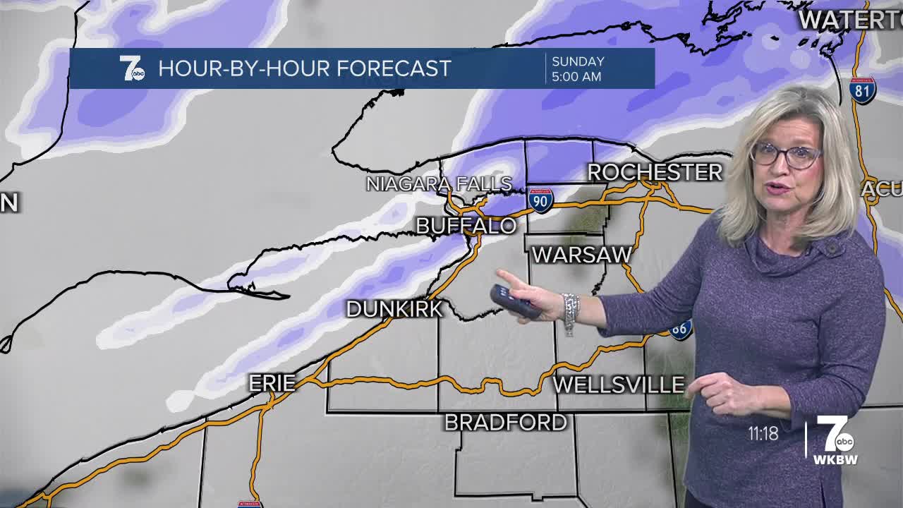
SUNDAY
MORNING: Windy, Lake Effect Snow Metro/North low 20s.
AFTERNOON: Lake snow gradually sinking south , low 30s.
MONDAY
MORNING: Partly Sunny , mid 20s.
AFTERNONN: Partly Sunny, Mid 30s.
