
WINTER WEATHER ADVISORY for Chautauqua, and Cattaraugus counties until 1pm Monday
The combination of gusty winds, and areas of lake snow will make for some tricky travel in the S. Tier overnight into Monday, so allow for some extra time if you're heading out and about, as blowing and drifting snow will reduce visibility in the most persistent lake snows. Snowfall accumulations of 3 to 6 inches are possible by Monday night, where the lake bands linger the longest.
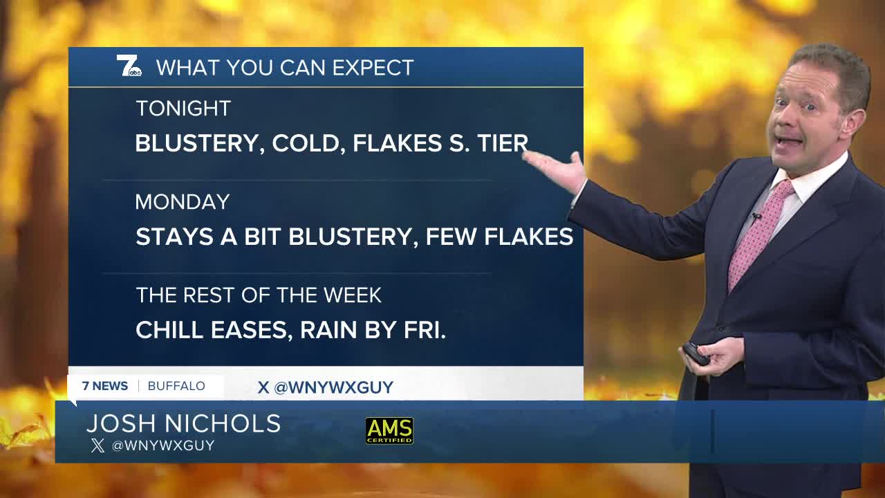
Otherwise the story into Monday morning is the cold and the wind for Buffalo. Nothing more than a few flurries will fly here. Temperatures Monday will struggle to get much past the upper 30s.
The trend is our friend through the rest of the week, as temperatures rebound. The next system to watch will arrive by the end of the week. That one won't be wintry, but rather instead, wet!
MONDAY
MORNING: S. Tier snow, near 30.
AFTERNOON: S. Tier snow, mid 30s.
TUESDAY
MORNING: Partly cloudy, upper 20s.
AFTERNOON: Sun and clouds, upper 30s.
WEDNESDAY
MORNING: Partly cloudy, near 30
AFTERNOON: Ample sun, mid 40s
