
BUFFALO, N.Y. (WKBW) — We may see the first snowfall of the season here in Western New York, as there are a few chances to see flakes fly in the coming days.
Late Wednesday, a strong cold front will pass through WNY, ushering in a cool air mass over Lake Erie. This colder air could produce a few flakes over the higher hills south of Buffalo. The best chance for some snow will be over the higher elevations of Cattaraugus and Allegany Counties.
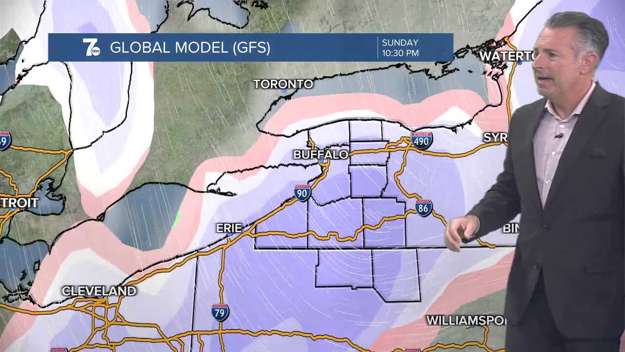
On Sunday, we'll start with rain and end with a rain/snow mixture.
Then on Monday, another blast of cold air arrives and our first lake effect snow event of the season could occur. The 7 Weather Team will be monitoring it.
On average, the first measurable snow (0.1") occurs on November 8 in Buffalo.
You can watch the hour-by-hour forecast from Tuesday morning below.
