


BUFFALO, N.Y. (WKBW) — Air Quality ALERT extended for all for WNY through late Saturday night.
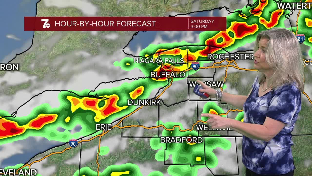
The Storm Prediction Center has placed WNY under an Enhanced Risk (level 3/5) for scattered severe t-storms, especially from Saturday morning through late afternoon. Damaging wind gusts, large hail, torrential downpours and an isolated tornado are possible. If severe weather threatens your area, seek shelter and stay away from windows.
Wildfire smoke may pick up in intensity overnight into Saturday morning. Temperatures will drop into the upper 60s with humidity increasing. Expect Warm, muggy and breezy conditions Saturday with scattered showers and thunderstorms. Any smoke aloft may result in ash falling in the rain. Some storms Saturday afternoon may contain strong damaging wind gusts. There is a minimal chance of a tornado as storms push through WNY.
FRIDAY
EVENING: Areas of fluctuating smoke, 70s.
SATURDAY
MORNING: Breezy, Scattered showers, few t-storms, lower 60s.
AFTERNOON: Breezy, Scattered showers and strong t-storm chance. Near 80
SUNDAY
MORNING: Few lingering scattered showers, lower 60s.
AFTERNOON: Partly sunny. Near 80
MONDAY
MORNING: Sun & Clouds, lower 60s.
AFTERNOON: Partly sunny. Near 80
TUESDAY
MORNING: Sun & Clouds, upper 60s.
AFTERNOON: Scattered showers and t-storms. Upper 70s.
