

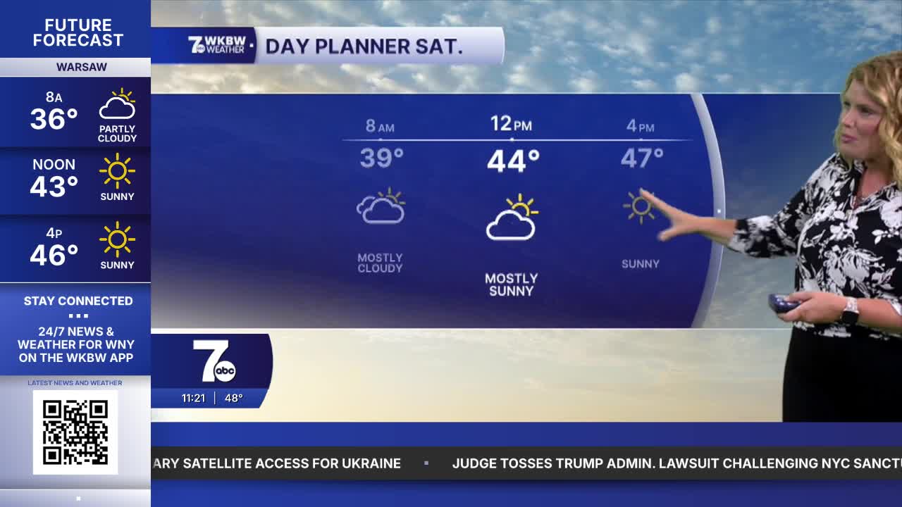

BUFFALO, N.Y. (WKBW) — Saturday will definitely feel like fall across Western New York, with highs only reaching the upper 40s.
Freeze WARNING Saturday night into Sunday
The coldest temperatures arrive Saturday night into early Sunday morning. A Freeze WARNING is in effect from 11 p.m. tonight to 9 a.m. Sunday for Niagara, Orleans, Genesee and northern Erie counties, along with Potter County in Pennsylvania.
Coldest temperatures will be in rural areas away from the immediate lake-shore communities. If you still have sensitive plants outside, this is a good reminder to keep an eye on temperatures heading into Sunday morning.
Sunday brings improvement
After the chilly start, Sunday turns into the better half of the weekend. Sunshine will increase and temperatures will rebound, with highs climbing back near 60 degrees.
If you’re hoping to squeeze in some fall plans or leaf peeping, Sunday looks like the better bet.
A warmup is on the way
And if Saturday’s chill is a little too much for you, just hang on. Warmer weather is on the way next week.
Temperatures will climb to at least 5 degrees above average, giving Western New York a stretch of milder fall weather after this weekend’s chilly start.
SATURDAY
MORNING: Few flurries, mid 30s.
AFTERNOON: Mostly sunny, upper 40s.
SUNDAY
MORNING: Mainly clear, mid 30s.
AFTERNOON: Sunny, near 60.
MONDAY
MORNING: Mainly clear, near 40.
AFTERNOON: Sunny, upper 60s.
TUESDAY
MORNING: Chilly, near 40.
AFTERNOON: Sunny, upper 60s.
