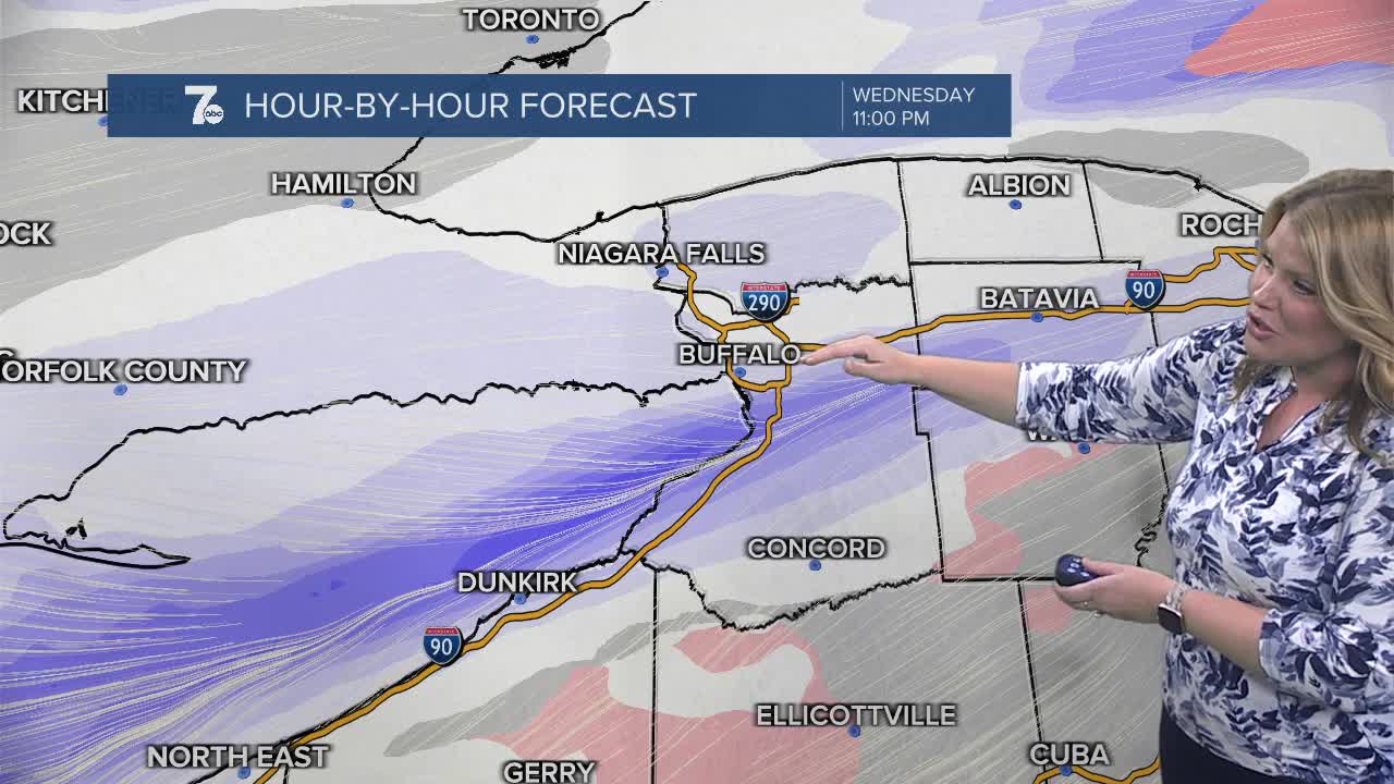

BUFFALO, N.Y. (WKBW) — Lake enhanced snow north of Buffalo early this evening. Drifting south to the southtowns near midnight and into the deeper southtowns and Boston hills overnight. Snow and blowing snow across the region overnight through early Thursday.
A Winter Weather Advisory has been issued for portions of Western New York.
The advisory was issued for Northern Erie and Genesee Counties until 6 a.m. on Thursday. Snow accumulations of 2 to 4 inches are possible with winds gusting as high as 35 MPH.
The advisory was issued for Wyoming, Chautauqua, Cattaraugus and Southern Erie from midnight to 7 p.m. Thursday. Snow accumulations of 2 to 5 inches are possible with winds gusting as high as 35 MPH.
Temperatures will drop on Thursday with teens in the afternoon with wind chills in the single digits. Friday morning temperatures will be in the single digits (and some sub zero winds chills) as the coldest air of the season will arrive.
WEDNESDAY
MORNING: Mostly cloudy, mid 20s.
AFTERNOON: Breezy with late snow, low 30s.
THURSDAY
MORNING: Snow showers, mid 20s.
AFTERNOON: Cold breeze, near 20.
FRIDAY
MORNING: Mostly cloudy, near 10.
AFTERNOON: Partly sunny, upper 20s.
SATURDAY
MORNING: Snow showers, mid 20s.
AFTERNOON: Snow showers, low 30s.
SUNDAY
MORNING: Snow showers, mid 20s.
AFTERNOON: Mostly cloudy, upper 20s.
