


BUFFALO, N.Y. (WKBW) — Heat Advisory for Niagara and Orleans county on Thursday from Noon until 8pm for heat index values rising into the mid-90s. Take frequent breaks and drink plenty of fluids if working outdoors.
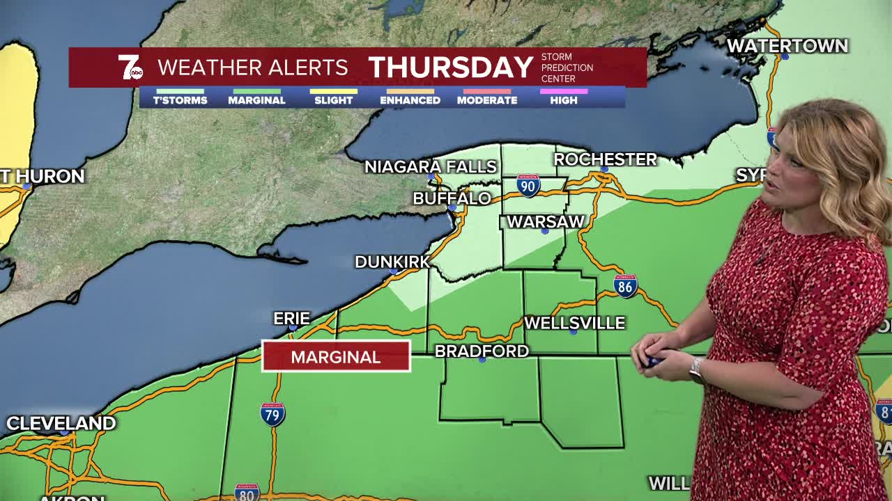
WNY is listed in the Excessive Rainfall Forecast for tonight with a marginal risk for intense rainfall that may lead to flash flooding. Also there's a marginal risk for damaging wind gusts and hail. Otherwise, warm and muggy tonight with lows near 70 with a continued chance for stray thunderstorms overnight. Thursday and Friday will be hot and humid with scattered showers and thundershowers. Highs will be in the low to mid 80s but it will feel like it's in the 90s.
EVENING: Spot T-showers. Muggy. near 70
THURSDAY
MORNING: Sctd. showers, near 70.
AFTERNOON: Sctd. t-storms, mid 80s.
FRIDAY
MORNING: Sctd. showers, near 70.
AFTERNOON: Sctd. t-storms. mid 80s.
SATURDAY
MORNING: Partly cloudy, low 60s.
AFTERNOON: Mostly sunny, near 80.
SUNDAY
MORNING: Mostly cloudy, near 60.
AFTERNOON: Sctd. showers, mid 70s.
