
BUFFALO, N.Y. (WKBW) — Partly cloudy and cold tonight with a few lake flakes possible. Quiet weather on Thursday before snow returns for all of Western New York on Friday. A general 2 to 4 inches of snow expected. A frigid air mass will arrive on Saturday with highs in the single digits and wind-chills well below zero.
Here's the breakdown:
THURSDAY:
Cold but Quiet with a few light snow showers early.
FRIDAY MORNING: Mostly cloudy and cold, temperatures in the teens with fairly light winds.
FRIDAY AFTERNOON: Snow showers 1-2" by the dinner hour, winds begin to gust around 20mph from noon, onward. Temps in the upper 20s.
FRIDAY EVENING: Snow showers continue. Winds gust to 25mph, temperatures begin to drop.
FRIDAY MIDNIGHT - MORNING: Bursts of snow showers, Winds gusting over 30mph and temperatures plummeting to near zero.
SATURDAY MORNING: Lake snow showers. Blustery near zero temps, wind chills down to -20 degrees and winds gusting over 25mph.
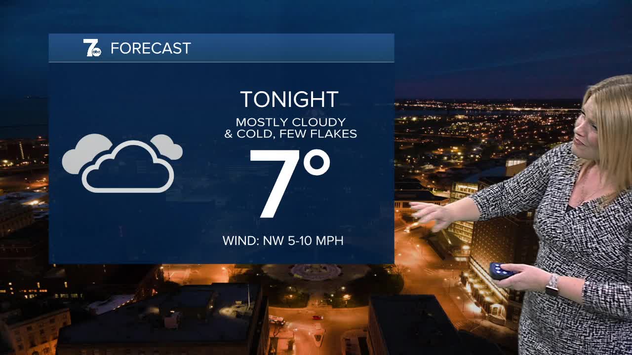
OVERNIGHT: Mostly cloudy. Few flakes. Low teens.
THURSDAY
MORNING: Cold, near 10.
AFTERNOON: Mostly cloudy, near 20.
FRIDAY
MORNING: Mostly cloudy, 15.
AFTERNOON: Snow, upper 20s.
SATURDAY
MORNING: Cold, -2.
AFTERNOON: Cold breeze, 7.
