
Winter Storm WARNING from 4 p.m. today through 7 p.m. Thursday for Northern Erie, Niagara, Orleans and Genesee Counties. 5 to 10" of snow expected, with most of the snow falling overnight.
Winter Storm WARNING now through 1 a.m. Friday for Southern Erie, Wyoming, Chautauqua and Cattaraugus Counties. 6 to 12" of snow expected.
Winter Weather Advisory for Allegany county until 1pm Thursday. 3-6" snow possible.
Winter Weather Advisory for Mckean county in Pennsylvania until 1am Friday for 3-5" of snow and until 1pm Thursday for Potter county, 1-3" of snow possible with winds gusting to 35mph.
Expect 3 to 6" of snow across the area overnight. The Thursday morning commute will be slow, and school cancellations are possible. The heaviest snow overnight will be north of Buffalo.
Several inches of snow possible into the day on Thursday with highest amounts along the Chautauqua Ridge and Boston Hills south of Buffalo. Temperatures on Thursday will be frigid with highs in the teens and wind chills at or below zero through Thursday night.
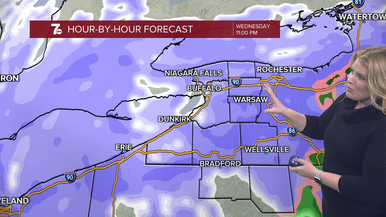
WEDNESDAY
OVERNIGHT: Snow, heavy at times 3-5". Cold, low teens.
THURSDAY
MORNING: Snow, near 10.
AFTERNOON: Snow showers, teens.
FRIDAY
MORNING: Mostly cloudy, near 10.
AFTERNOON: Snow, mid 20s.
SATURDAY
MORNING: Mostly cloudy, near 20.
AFTERNOON: Snow showers, mid 30s.
SUNDAY
MORNING: Snow showers, near 10.
AFTERNOON: Snow showers, near 20.
