

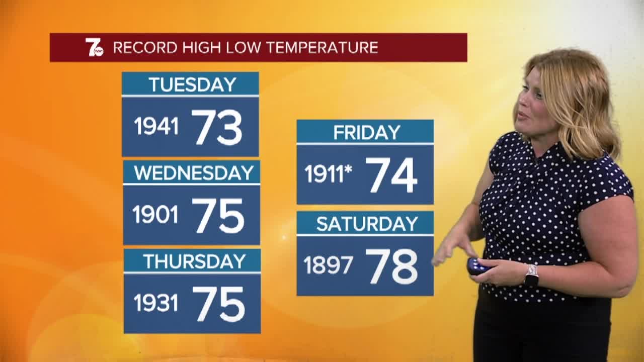

BUFFALO, N.Y. (WKBW) — Extreme Heat Warning through 8pm Friday for Niagara and Orleans Counties. The heat index will be in the 104 to 108 degree range.
Heat Advisory through 8pm Friday for Erie, Genesee, Wyoming, Chautauqua, Cattaraugus, and Allegany Counties. The heat index will in the 96to 104 degree range.
Hazy, hot and humid remain the choice words to describe WNY weather this week. It'll be near 80 degrees to start Thursday morning with nearly complete sunshine. It'll feel closer to 90 degrees by 10am. Winds will help downtown stay in the mid-80s but the stickiness attached to this air-mass won't allow any relief. Timing on some late evening storms look to approach between 7pm-10pm and if it gets hung up north for a bit longer, the Tonawanda fireworks won't have an issue. It is something to keep an eye out for if headed to that fireworks display Thursday evening.
If you're looking to see the duck downtown Friday, expect more hot and humid weather but after the early morning, it'll be dry. Storms become more favorable late into the evening.
THURSDAY
MORNING: Mainly clear, mid 70s.
AFTERNOON: Mostly sunny, near 90.
FRIDAY
MORNING: Partly cloudy, iso. early storm. mid 70s.
AFTERNOON: Isolated storms, upper 80s.
SATURDAY
MORNING: Partly cloudy, low 70s.
AFTERNOON: Sctd. storms, mid 80s.
SUNDAY
MORNING: Mostly cloudy, near 70.
AFTERNOON: Sctd. storms, low 80s.
