
BUFFALO, N.Y. (WKBW) — Warm and humid conditions continue through the night and Wednesday with scattered showers and t-storms Wednesday afternoon. A cold front with cooler temperatures arrive Thursday with breezy winds and scattered showers.
There is a marginal risk for strong storms as the cold front passes late Wednesday evening into the early hours of Thursday morning.
As summer arrives, we're on par for normal temperatures Friday with highs in the upper 70s. The longest daylight of the year clocking in at 15 hours 20 minutes and 53 seconds with the summer solstice occurring at 10:42 pm.
Temperatures rise into the mid-80s over the weekend.
By next week WNY will soar into the upper 80s and flirting with 90, our first heat wave of the summer as heat index number rise to near 100!
Get your air conditioners in the windows before then!
OVERNIGHT: Warmer, a touch humid. Upper 60s.
WEDNESDAY
MORNING: Mostly cloudy, Few sprinkles. upper 60s.
AFTERNOON: Sctd. showers & t-showers, low 80s.
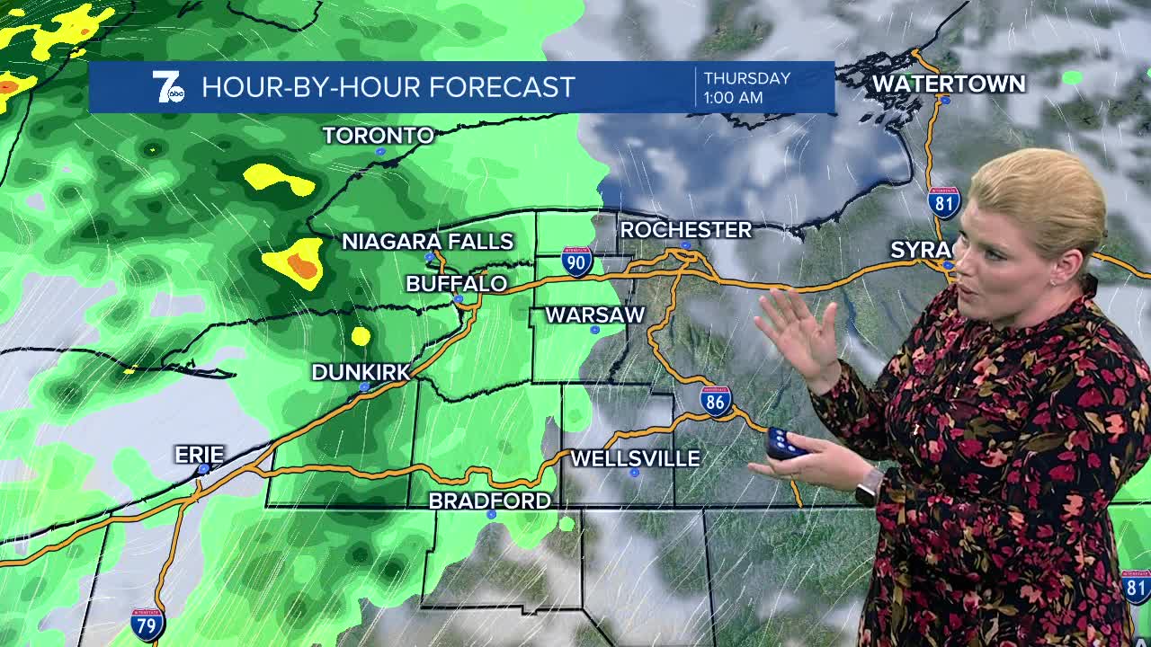
THURSDAY
MORNING: Sctd. showers, low 60s.
AFTERNOON: Sctd. showers, breezy, mid 70s.
FRIDAY
MORNING: Partly cloudy, low 60s.
AFTERNOON: Partly sunny, upper 70s.
SATURDAY
MORNING: Mostly cloudy, mid 60s.
AFTERNOON: Partly sunny, mid 80s.
