

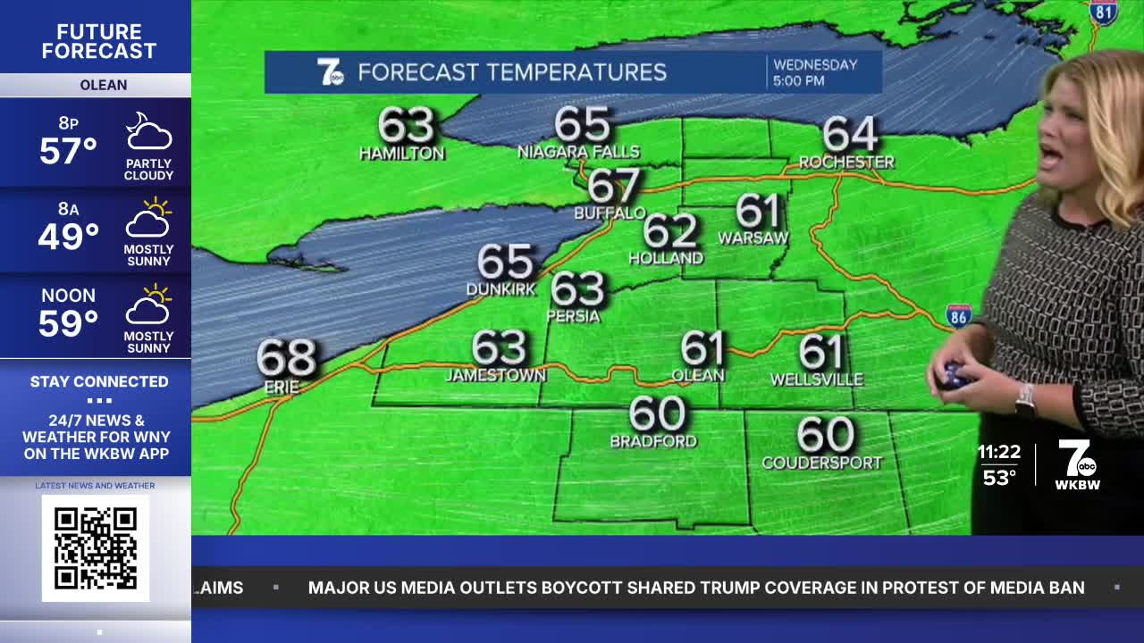

BUFFALO, N.Y. (WKBW) — Sweater Weather Returns Tonight:
Don't put away the jacket just yet. Temperatures will tumble after sunset, with overnight lows dropping back into the 40s. Crisp mornings are officially back.
A Beautiful Start to the New Season:
The first days of autumn look nearly picture-perfect. Dry conditions and a mix of sun and clouds will make for comfortable afternoons and cool nights across the region.
The Takeaway: No rain concerns and plenty of opportunities to enjoy the outdoors.
Temperatures Begin a Slow Climb:
While it feels like fall, temperatures won't stay cool forever.
- Mid-upper 60s Wednesday
- Gradually warming through the week
- Near 70 degrees by the weekend
Expect partly to mostly sunny skies through much of the upcoming stretch.
Weekend Watch - Potential Nor'Easter
While our local forecast remains quiet, forecasters are monitoring the possibility of a Nor'Easter developing along the East Coast this weekend.
If the system strengthens, it could bring impacts to major cities across the Northeast and Mid-Atlantic, including:
- Heavy rain
- Gusty winds
- Coastal impacts
- Travel disruptions
Flying This Weekend? Travelers should keep a close eye on forecasts.
Even if your local weather is pleasant, a coastal storm near major East Coast hubs could lead to:
- Flight delays
- Missed connections
- Airport congestion
If you're flying this weekend, checking airline alerts before departure may save some headaches.
OVERNIGHT: Fair skies, upper 40s.
WEDNESDAY
MORNING: Mainly clear, mid 40s.
AFTERNOON: Mostly sunny, upper 60s.
THURSDAY
MORNING: Mainly clear, low 40s.
AFTERNOON: Mostly sunny, upper 60s.
FRIDAY
MORNING: Partly cloudy, upper 40s.
AFTERNOON: Mostly sunny, upper 60s.
SATURDAY
MORNING: Partly cloudy, low 50s.
AFTERNOON: Sun and clouds, low 70s.
