
BUFFALO, N.Y. (WKBW) — Buffalo Airport made it to 91 degrees Tuesday. Third day in a row of 90s, which qualifies as a heat wave for WNY and the 8th day this summer the temperature has rose to 90 degrees or above. The record high remains in the books at 93 degrees set in 1988.
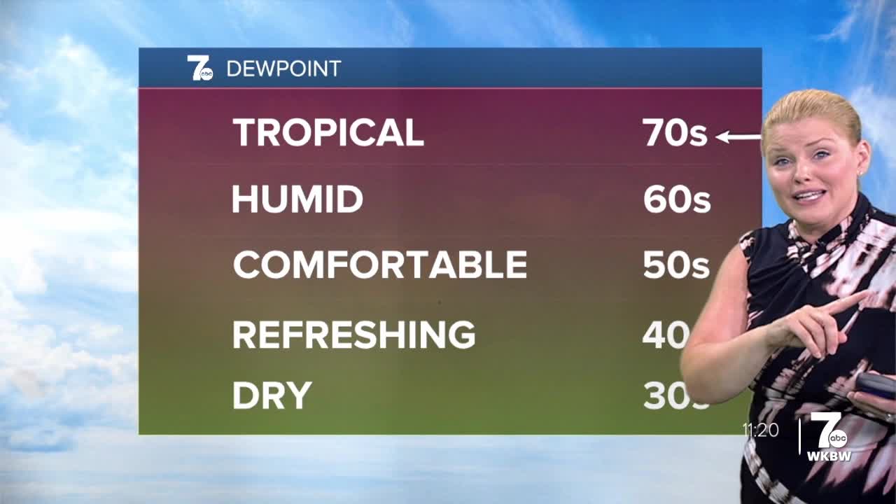
Scattered showers and thunderstorms develop overnight. It'll be warm and muggy with temperatures only dropping into the lower and mid-70s.
Showers and thunderstorms are likely on Wednesday but not likely to make a huge dent in the rain deficit which is 3.78" at the Buffalo airport. A few tenths of an inch is possible with isolated higher amounts in heavier downpours.
Not much of a cool down after the rain, temperatures will still be above average in the lower 80s but with less humidity through Thursday. It'll warm right back up into the upper 80s and near 90 Saturday.
The next chance of rain doesn't come until Sunday.
TUESDAY
EVENING: Few isolated heavy downpours. 80s.
OVERNIGHT: Warm and muggy, sctd. showers/t-storms developing. Low 70s.
WEDNESDAY
MORNING: Sctd. showers, low 70s.
AFTERNOON: Sctd. showers, mid 80s.
THURSDAY
MORNING: Mainly clear, mid 60s.
AFTERNOON: Mostly sunny, low 80s.
FRIDAY
MORNING: Partly cloudy, low 60s.
AFTERNOON: Mostly sunny, mid 80s.
SATURDAY
MORNING: Mainly clear, low 60s.
AFTERNOON: Mostly sunny, near 90.
