


BUFFALO, N.Y. (WKBW) — Flash Flood Warning for east central Erie and Wyoming county until 2:15am. Between 1.75"-2.75" has fallen and .75" - 1.25" is possible. Locations include: East Aurora, Dansville, Letchworth State Park, Perry, Warsaw, Mount Morris, Arcade, Portageville, Varysburg, Chaffee, Wales Center, Billington Heights, Holland, Groveland, Sheldon, Nunda, Eagle, Pike, Castile And Ossian
Flash Flood Warning for east central Erie and northwestern Wyoming county until 12:45am. Between 15"-2.5" of rain has fallen. Additional amounts of .5"-1" possible. Locations include: Lancaster, Elma, Marilla, Bennington, Alden, Billington Heights, Elma Center And Cowlesville.
The National Weather Service confirms an EF1 Tornado in Niagara county, Wednesday, September 2 in Olcott. Peak winds estimated at 105mph. Path length of .67 miles and maximum width of 70 yards. Start time was 6:07pm and end time was 6:08pm.
Tornado confirmed in East Shelby Wednesday, September 2nd by the Buffalo National Weather Service Survey Team. An EF1 tornado with peak winds of 105mph touched down in East Shelby at 6:45pm with a length of 1.2 miles and maximum width of 200 yards.
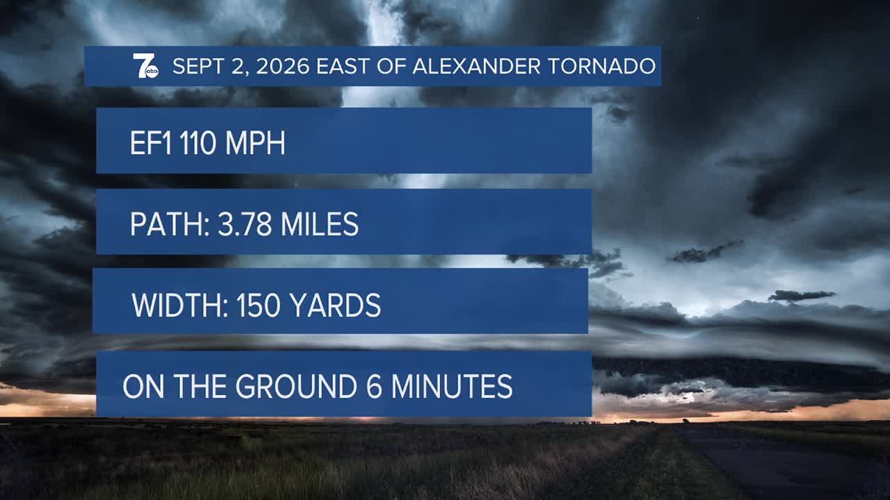
NWS Survey team confirmed an EF1 tornado east of Alexander on Wednesday, September 2, 2026. 110mph wind peak gust, path length of 3.78 miles and 150 yards wide. Was on the ground from 7:29pm to 7:35pm.
Heavy rain between 2-3" of rain fell across north Buffalo and east into Wyoming county Thursday evening, causing flash flooding. A cooler start to Friday will feature temperatures in the lower 60s. We may have a few areas of showers into Friday, especially south of Buffalo. Conditions improve with less humidity over the holiday weekend with highs in the 70s.
FRIDAY
MORNING: Partly cloudy, low 60s.
AFTERNOON: Sun and clouds, upper 70s.
SATURDAY
MORNING: Partly cloudy, near 60.
AFTERNOON: Mostly sunny, mid 70s.
SUNDAY
MORNING: Partly cloudy, mid 50s.
AFTERNOON: Mostly sunny, mid 70s.
MONDAY
MORNING: Partly cloudy, near 60.
AFTERNOON: Mostly sunny, upper 70s.
