
Wind Advisory until 7am Tuesday for Erie, Niagara, Orleans, Genesee, Wyoming, and Chautauqua Counties for winds gusting near 50 miles per hour.
Until 7pm for Allegany county and until 12pm for Potter and McKean county in Pennsylvania.
Winter Storm Warning until 1am Friday for Southern Erie, Wyoming, Chautauqua, and Cattaraugus Counties. 1 to 3 feet of snow possible by Friday.
Winter Weather Advisory for Allegany county until 7pm Wednesday. 5-9" of snow possible in most persistent bands.
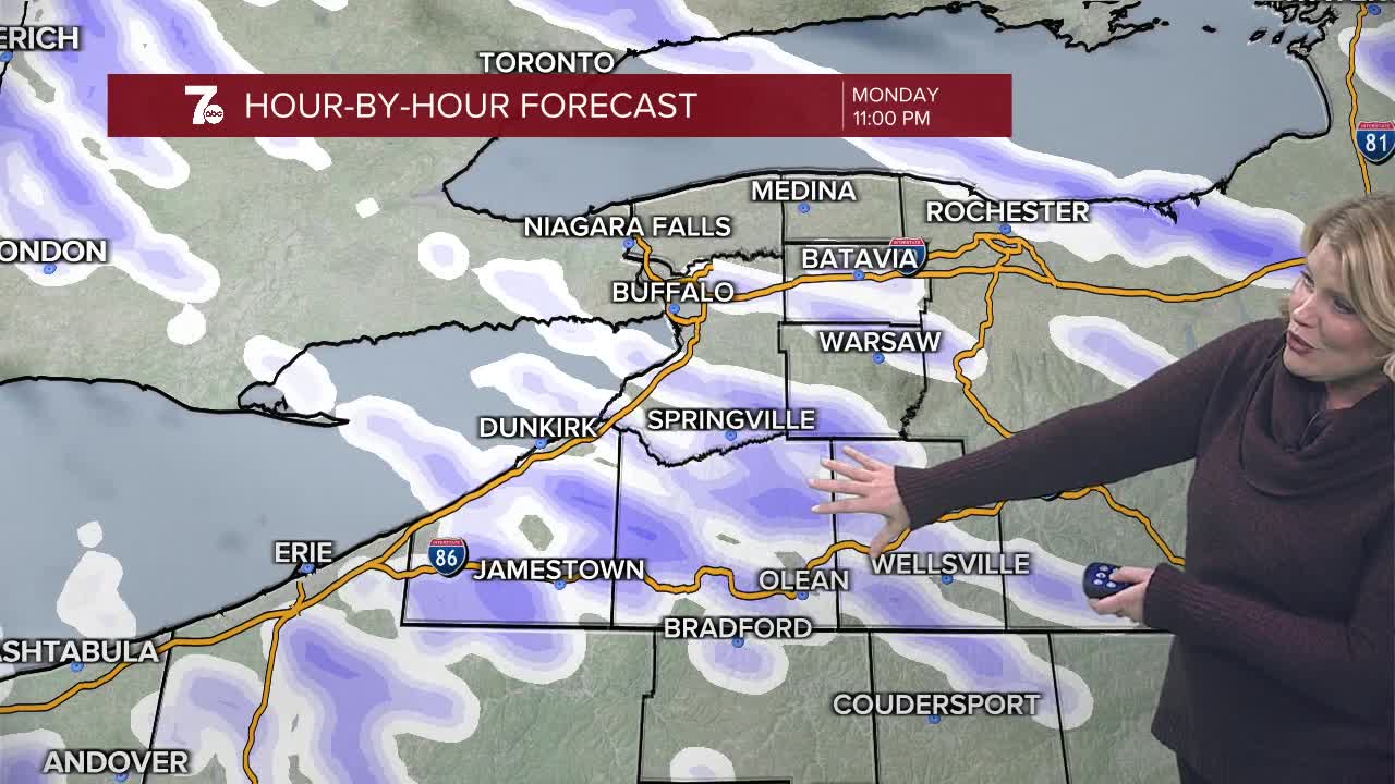
The Buffalo Airport recorded a 79mph wind gust Monday morning at 11:05am. The all time record for wind gust is 82mph on February 16th, 1967. Gusty winds continue into the night with gusts near 40mph. Lake effect snow showers continue into the night with 4-8" possible for the S. Tier by Tuesday morning. An inch or two elsewhere with a connection to the upper lakes. A better lake band sets up Tuesday afternoon/evening south of Buffalo near Springville. By Wednesday, we'll likely see the lake band shift northward some before a more widespread snow moves in Wednesday afternoon with 3-5" possible area wide.
TUESDAY
MORNING: Snow showers, upper teens.
AFTERNOON: Snow showers, mid 20s.
WEDNESDAY
MORNING: Snow showers, near 10.
AFTERNOON: Snow, near 20.
THURSDAY
MORNING: Snow showers, near 10.
AFTERNOON: Snow showers, near 20.
FRIDAY
MORNING: Snow showers, near 10.
AFTERNOON: Mostly cloudy, mid 20s.
