
Winter Storm WATCH from 7pm Wednesday through 7pm Friday for Southern Erie, Wyoming, Chautauqua, and Cattaraugus Counties.
Winter Storm WATCH for Northern Erie and Genesee Counties from 7pm Wednesday through 4pm Thursday.
Quiet start to the week with sunshine and seasonable temperatures today. Rain will return to the area on Tuesday.
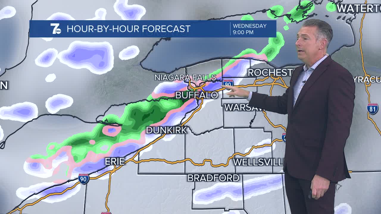
A strong cold front will move through Western New York on Wednesday. Temperatures will drop and lake effect snow will develop behind the frontal passage. Southwesterly winds Thursday morning will bring the lake effect band near Buffalo early Thursday morning before the band shifts southward. Winds will gust near 50 miles per hour causing blowing and drifting snow and making for difficult travel on Thanksgiving across the Southern Tier.
MONDAY
AFTERNOON: Partly sunny, mid 40s.
TUESDAY
MORNING: Mostly cloudy, mid 30s.
AFTERNOON: Rain likely, near 50.
WEDNESDAY
MORNING: Rain showers, mid 30s.
AFTERNOON: Rain to snow, low 50s.
THURSDAY
MORNING: Windy with snow, mid 20s.
AFTERNOON: Windy with snow, mid 30s.
FRIDAY
MORNING: Windy with snow, mid 20s.
AFTERNOON: Windy with snow, low 30s.
