
Flood Warning for Tonawanda Creek through Saturday morning for minor flooding as the creek water slowly recedes.
A warm start to the holiday weekend on Saturday with highs near 70F. Expect spotty morning showers, then plenty of dry time in the afternoon. Strong storms may develop late, sending temps downhill for Easter Sunday. Highs on Sunday will average in the low 40s. Staying quite cool into Dyngus Day with highs near 40 and a chance of a few rain/wet snow showers in the afternoon. Turning colder on Tuesday with snow showers and highs in the mid 30s.
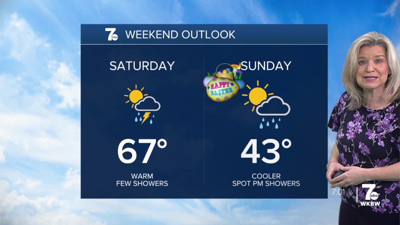
SATURDAY
MORNING: Few showers low 40s.
AFTERNOON: Partly sunny, storms late, upper 60s
SUNDAY
MORNING: Mostly cloudy, near 40.
AFTERNOON: Spot shower, mid 40s.
MONDAY
MORNING: Mostly cloudy, near 30.
AFTERNOON: Rain and snow, near 40.
TUESDAY
MORNING: Mostly cloudy, upper 20s.
AFTERNOON: Snow showers, mid 30s.
