

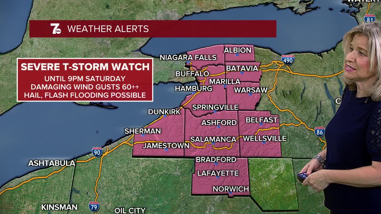

BUFFALO, N.Y. (WKBW) — Severe T-Storm WATCH has been cancelled for WNY but is still in effect for McKean county, PA until 9pm
Severe T-storm WARNING until 7:45pm for central McKean county, PA. Severe storms extending from Wetmore to near East Branch Dam are moving NE at 30mph. 60mph wind gusts and quarter size hail are possible.
Severe T-Storm WARNING until 7:15pm for SW McKean county, PA. A severe storm near Johnsonburg is moving NE at 20mph and is capable of producing golf ball size hail and 60mph wind gusts. If you live in this area, stay inside and away from windows.
Noticeably cooler on Sunday with scattered showers and highs near 70. Shower chances continue into Monday with cool highs in the upper 60s to near 70. Sunshine returns Tuesday with highs in the mid 70s.
SATURDAY
OVERNIGHT: Scattered storms, 60a
SUNDAY
MORNING: Showers, near 60.
AFTERNOON: Sct. Storms, Brisk , upper 60s
MONDAY
MORNING: Showers, mid 50s.
AFTERNOON: Showers, mid 60s
TUESDAY
MORNING: lingering showers, near 60.
AFTERNOON: Sun and clouds, low 70s.
