


BUFFALO, N.Y. (WKBW) — Severe T-Storm WATCH until 11pm Saturday for McKean, Potter counties, PA. 60mph+ damaging wind gusts, hail and torrential downpours are possible. If storms threaten your area, stay inside and away from windows.
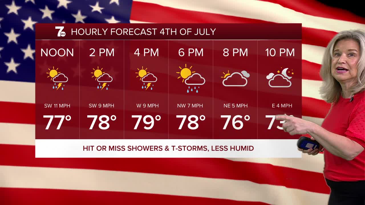
High humidity will ease up into the holiday weekend with a few storm chances, but no washouts expected. The main storm threat will be for damaging winds into early Saturday. It will still be humid, but not oppressive, and temperatures will be cooling down through the 80s.
SATURDAY
AFTERNOON: Spot T-Storms low 80s.
EVENING: Spot T-Storms, especially south. upper 60s
SUNDAY
MORNING: Partly cloudy, near 70.
AFTERNOON: Sctd. t-showers, low 80s.
MONDAY
MORNING: Rain showers, near 70.
AFTERNOON: Sctd. t-storms, low 80s.
TUESDAY
MORNING: Rain showers, near 70.
AFTERNOON: Partly cloudy, low 80s.
