
Winter Storm Watch for Niagara, Orleans, Erie, Genesee, Chautauqua and Cattaraugus county from 7pm Sunday - 4pm Wednesday. 7"+ in most persistent snow. Winds gusting to 45mph will cause lowered visibility, blowing and drifting snow.
Another round of light snow will arrive Friday afternoon with temperatures climbing into the mid-upper 20s and even continue to rise into the 30s by Saturday morning. Little accumulation from the afternoon snow on Friday, generally less than an inch is possible.
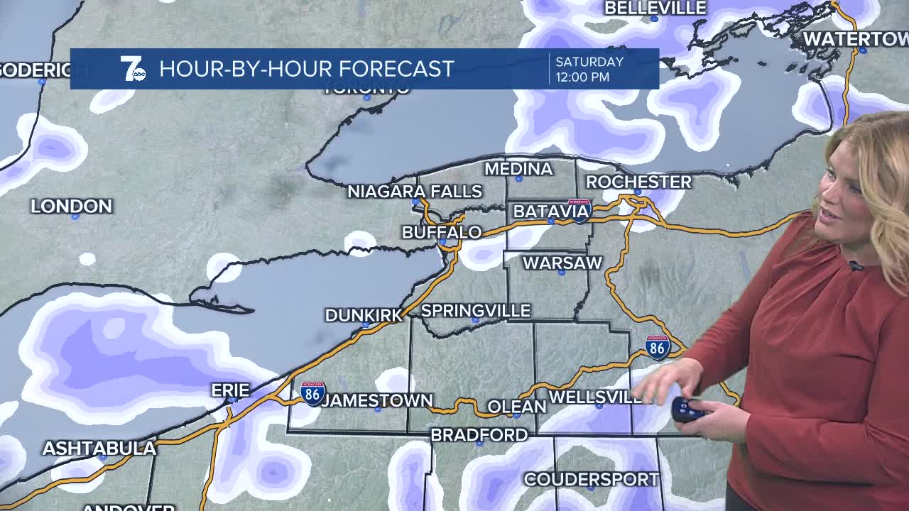
Turning breezier into Saturday afternoon with some limited snow showers a mix for Buffalo. Areas south of Buffalo may get an additional 2-3" of snow through Saturday.
Temperatures will drop again on Sunday and likely cause a lake response from Sunday into early next as frigid conditions remain entrenched across WNY.
Lake Erie still doesn't have much ice on it, however yesterday the ice coverage shot up from 2% on Wednesday to 13% Thursday from the very cold shot of arctic air. With only a slight bump in temperatures through Saturday, expect rapid ice development from the cold pattern WNY will be in for the second half of January.
FRIDAY
MORNING: S. Tier snow, 15.
AFTERNOON: Late snow, mid 20s.
SATURDAY
MORNING: Snow showers, mid 20s.
AFTERNOON: Snow showers, mid 30s.
SUNDAY
MORNING: Snow showers, teens.
AFTERNOON: Snow showers, near 20.
MONDAY
MORNING: Snow, teens.
AFTERNOON: Snow, near 20.
TUESDAY
MORNING: Cold, single digits.
AFTERNOON: Snow, teens.
